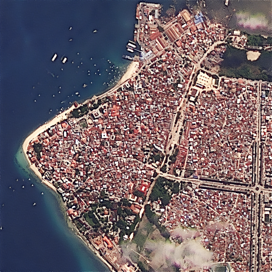
SkySpera's enhancement engine reconstructs sharper, cleaner imagery from virtually any sensor — commercial or free, optical or radar — with almost no artefacts. Upload your own scene.
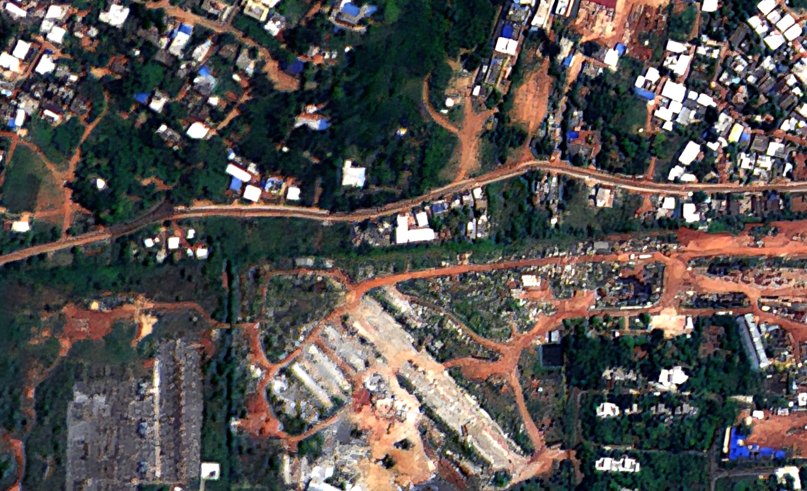
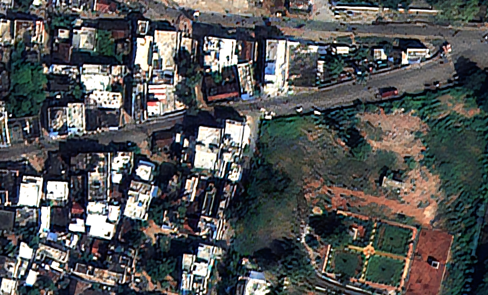
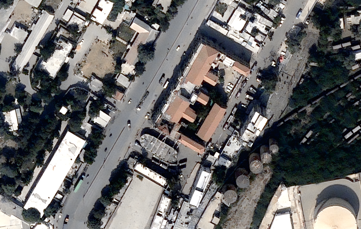
The same physics-based processing behind Refined Reality lifts detail without inventing it, whatever the source. Upload a scene and choose ×2 Refined Reality (for sources coarser than 50 cm), ×4 Super Resolution (for 50 cm and finer), or the PlanetScope-tuned 1.9 m Refined Reality with corrected spectral data. Enhancement is available in real time on both daily and archive data, with no offline delay. The gallery shows the same engine applied across many third-party sensors (PlanetScope, Cartosat-2/-3, BlackSky, Satellogic, SPOT, TATA).
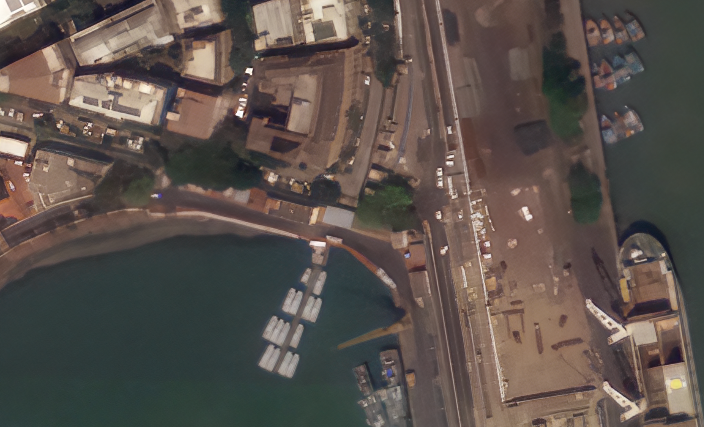
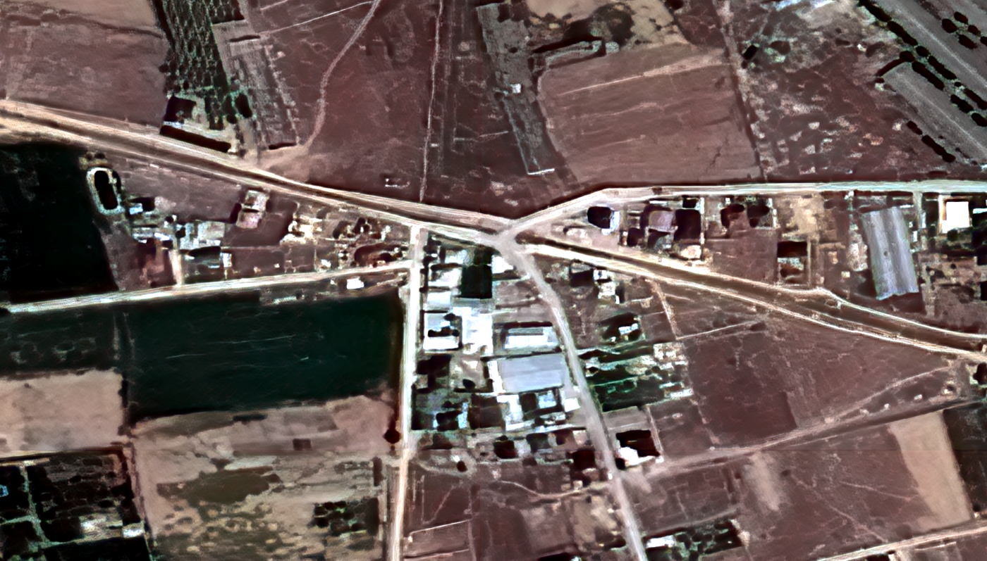
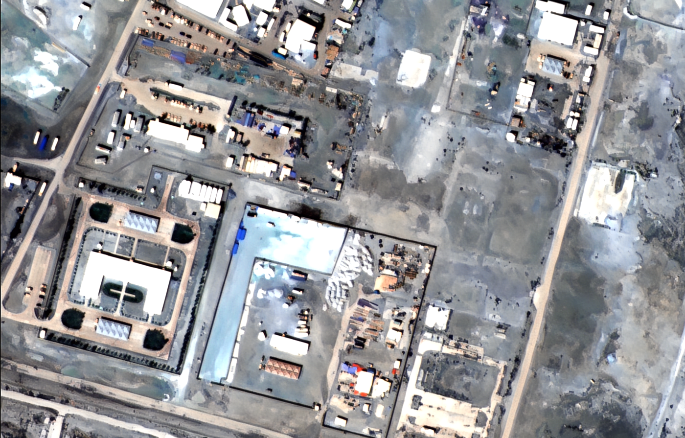
Tell us the ground you need to watch — we'll show you what SkySpera can do with it.
Talk to us SkySpera Earth intelligence