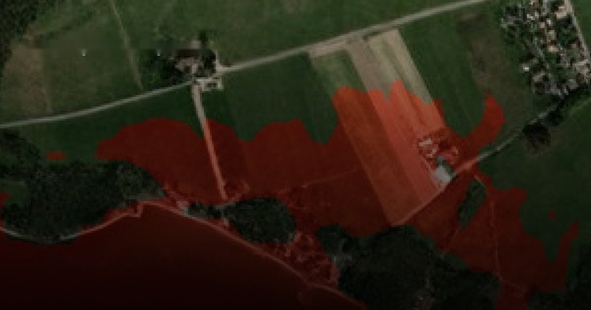
Model exactly where water goes — coastal, riverine, glacial-lake outburst — over terrain accurate to half a metre.
Credible flood and hazard planning is a terrain problem: the answer to “what floods if water reaches this height” depends on elevation accuracy that public 30 m DEMs do not have, producing risk maps with error bands too wide to act on.
SkySpera runs inundation and discharge modelling over a globally-validated 1 m BaseDEM at 0.5–1 m vertical accuracy, rendered over Refined Reality 1 m imagery. Flood Simulation answers the height-to-footprint question anywhere; GLOF Early Warning models the water actually released by a breaching glacial lake and where it would travel.
The same terrain engine extends to dam-breach scenarios and post-fire debris cascades — one consistent worldwide elevation foundation under every water-and-hazard question.
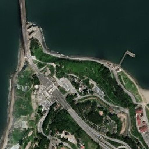
Physics-enhanced true-colour — Sentinel-2 to 1 m and PlanetScope to 1.9 m — refreshed every 2–5 days (S2) to daily (PlanetScope), no hallucinations.
More info →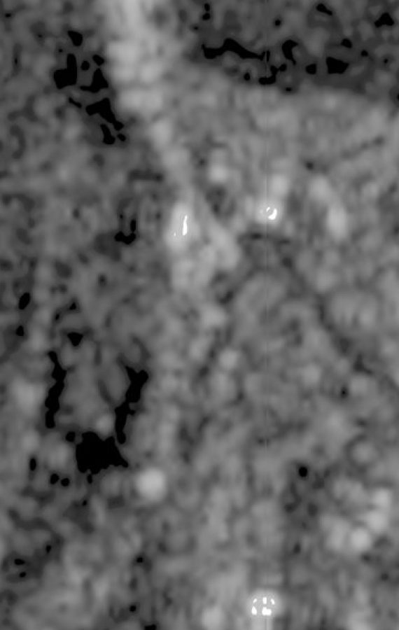
All-weather Sentinel-1 radar at 2 m (delivered at 1 m), every 6 days — day, night and through cloud.
More info →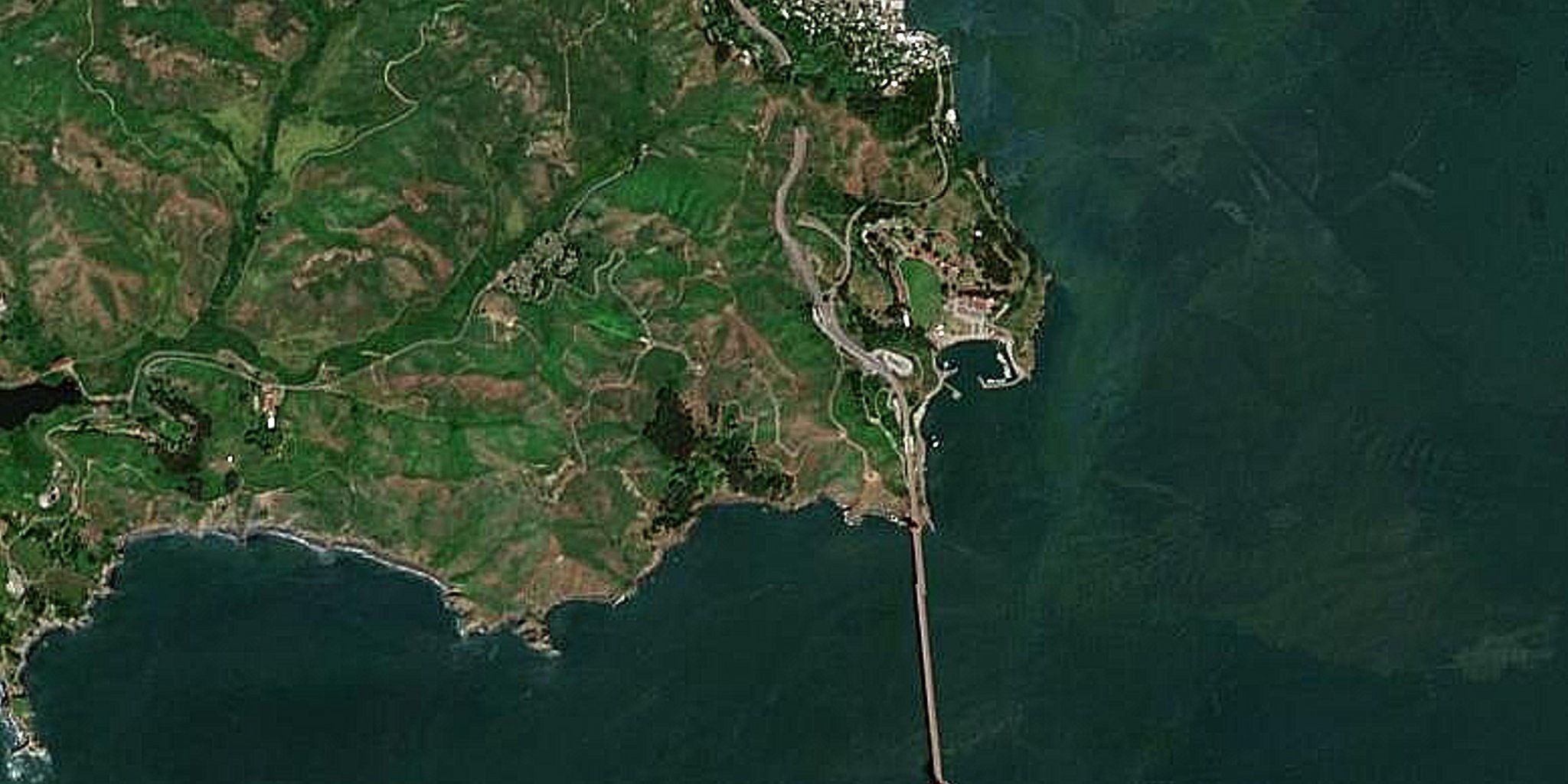
A seamless, near-cloudless global basemap — 10 m source, 5 m physics-based Derived Resolution, 2.5 m Super-Resolution.
More info →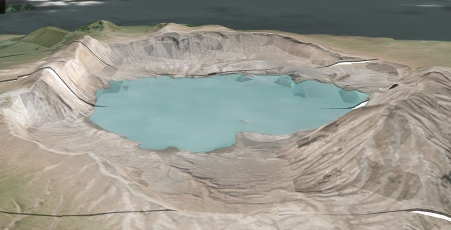
A global 1 m-post-spacing elevation model within a metre, vertically, of LiDAR.
More info →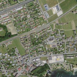
Government aerial orthoimagery for 20+ countries, from 20 cm to 1 cm, some refreshed continuously.
More info →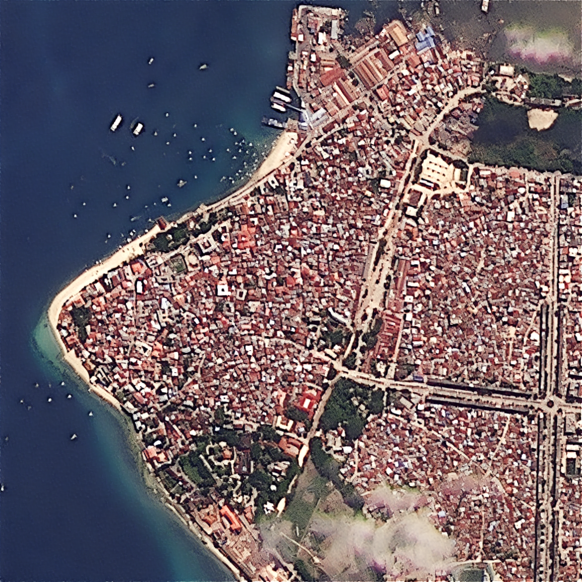
Upload your own scene — ×2 Refined Reality, ×4 Super Resolution, or PlanetScope 1.9 m — from virtually any sensor.
More info →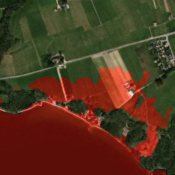
Simulate inundation to any water level over 1 m imagery, driven by 0.5–1 m BaseDEM accuracy.
More info →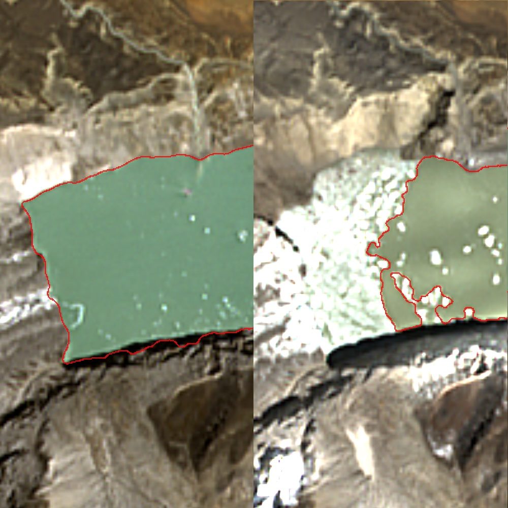
Continuous glacial-lake monitoring that models the water actually discharged downstream — not just total lake volume.
More info →A continuously refreshed 2.5 m basemap — hourly-updated, always the freshest pixel.
More info →Tell us your area of interest and we'll show you what SkySpera can do with it.
Talk to us SkySpera Earth intelligence