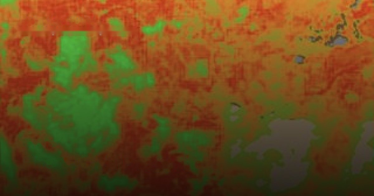
The full fire lifecycle — fuel danger, active-fire see-through, burn severity, recovery and erosion cascade — from one 2 m stack.
Fire agencies, utilities, insurers and civil protection face the same gap: coarse daily sensors miss the firebreaks and fuel structure that decide where fire stops or runs, while high-resolution tasking is too infrequent and expensive for continuous landscape monitoring.
SkySpera closes it with enhanced 2 m multispectral twice weekly, 1 m visual daily and 1 m BaseDEM for terrain — enough to see fuel state, firebreak integrity, active fronts under smoke, burn severity and post-fire erosion pathways from a single stack.
The indices are the ones fire services have validated for two decades; what's new is the resolution, frequency and integration behind them, delivered globally with scene-internal calibration that needs no local ground truth.
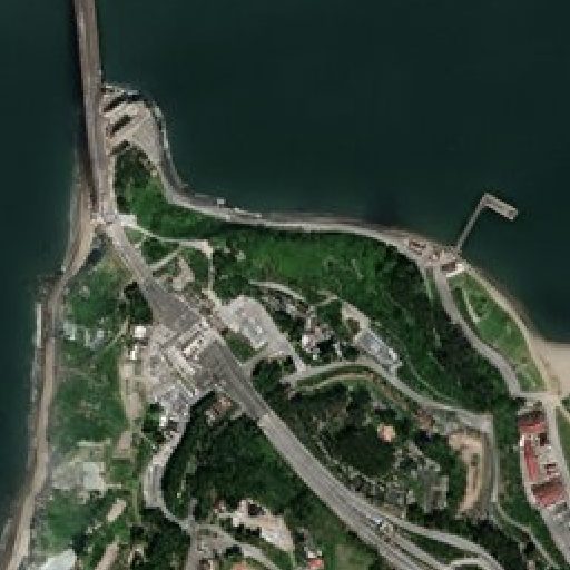
Physics-enhanced true-colour — Sentinel-2 to 1 m and PlanetScope to 1.9 m — refreshed every 2–5 days (S2) to daily (PlanetScope), no hallucinations.
More info →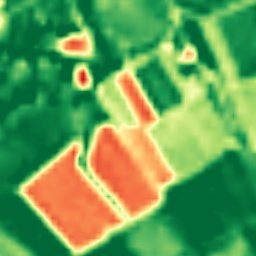
Ten calibrated spectral bands at 2–4 m — the analytical engine behind NDVI, moisture, burn and mineral indices.
More info →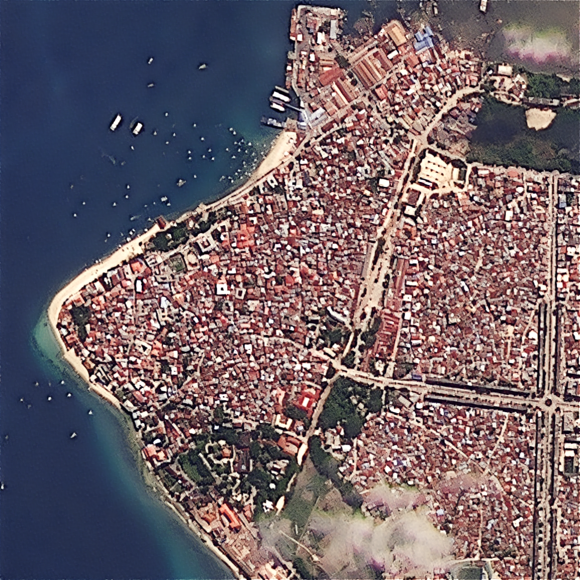
Upload your own scene — ×2 Refined Reality, ×4 Super Resolution, or PlanetScope 1.9 m — from virtually any sensor.
More info →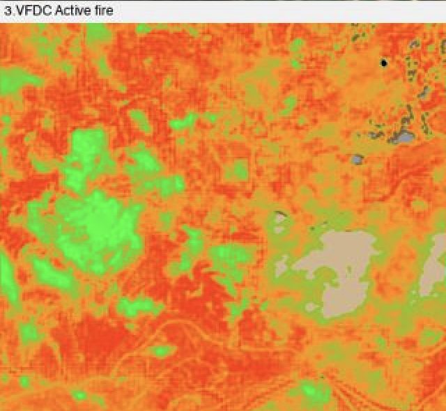
A single coherent fire-risk stack — fuel danger, active-fire see-through, burn severity, recovery and erosion cascade.
More info →Tell us your area of interest and we'll show you what SkySpera can do with it.
Talk to us SkySpera Earth intelligence