
Find leaks across a whole network and watch every kilometre of corridor — systematic, national-scale, no tasking.
Utilities operate vast, mostly-buried, mostly-linear networks that leak, get encroached on, and fail out of sight. The economics of tasked imagery have kept satellite monitoring to one-off studies rather than the continuous, network-wide service the problem demands.
SkySpera's systematic 2–3 day coverage changes the unit economics: an entire national network can be monitored on one schedule, priced per kilometre or per area, instead of paying tasking fees for each pass.
Suspected Water Leak Warnings detects subsurface moisture anomalies along pipeline routes at 2 m; Corridor Watching tracks encroachment and change along any linear asset; and BaseDEM underpins gravity-flow and grade analysis of the network itself.
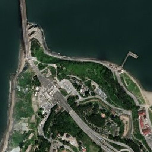
Physics-enhanced true-colour — Sentinel-2 to 1 m and PlanetScope to 1.9 m — refreshed every 2–5 days (S2) to daily (PlanetScope), no hallucinations.
More info →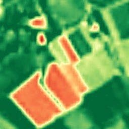
Ten calibrated spectral bands at 2–4 m — the analytical engine behind NDVI, moisture, burn and mineral indices.
More info →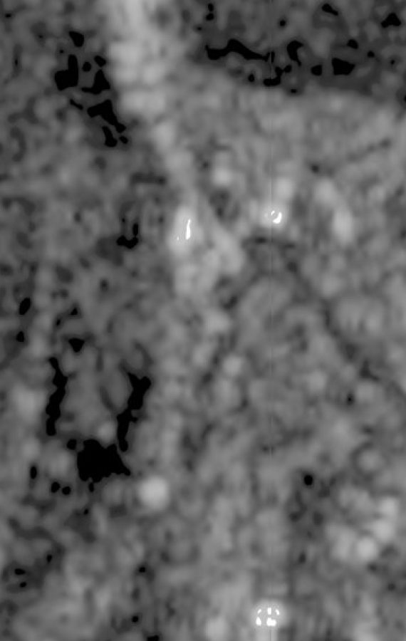
All-weather Sentinel-1 radar at 2 m (delivered at 1 m), every 6 days — day, night and through cloud.
More info →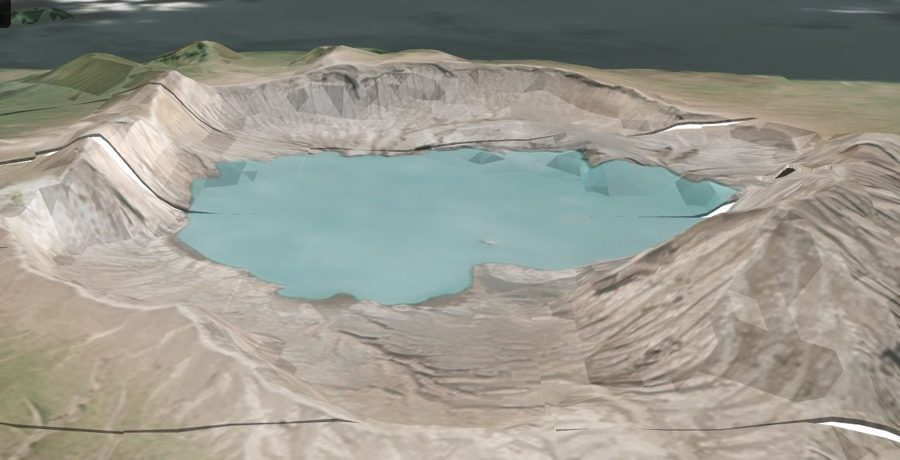
A global 1 m-post-spacing elevation model within a metre, vertically, of LiDAR.
More info →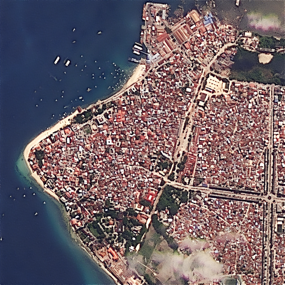
Upload your own scene — ×2 Refined Reality, ×4 Super Resolution, or PlanetScope 1.9 m — from virtually any sensor.
More info →
Systematic national pipeline-leak detection from 2 m moisture indices — no tasking, no per-area pricing.
More info →
Continuous watch over pipelines, transmission lines, railways and borders for encroachment and change.
More info →Tell us your area of interest and we'll show you what SkySpera can do with it.
Talk to us SkySpera Earth intelligence