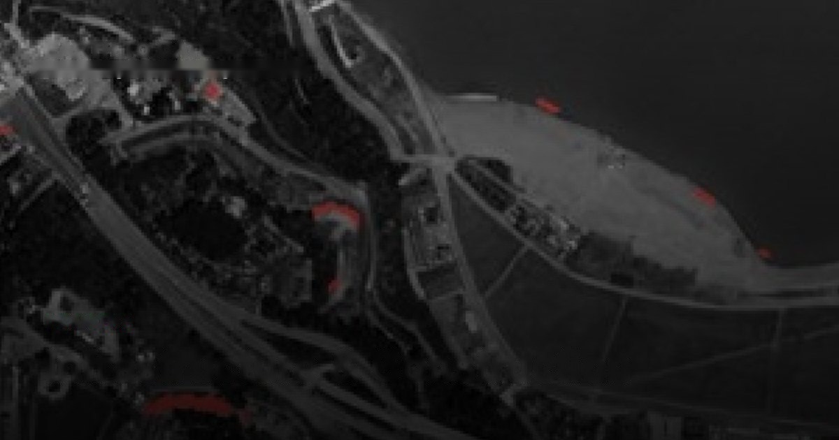
Detect unpermitted building and monitor corridors and earthworks at national scale — change detection plus survey-grade terrain.
Authorities and asset owners need to know what is being built, where, and whether it is allowed — across territories too large to inspect on the ground. Construction is small, dispersed and constant, and the terrain context for earthworks has historically required expensive surveys.
SkySpera detects new construction directly from dated imagery, classifies land cover without training data, watches linear corridors for encroachment, and supplies a 1 m BaseDEM accurate enough for cut-fill, grading and drainage — replacing episodic LiDAR for most planning work.
Together these give planning offices, registries and infrastructure operators a continuous, jurisdiction-wide view of physical change, without flying or driving the whole area.
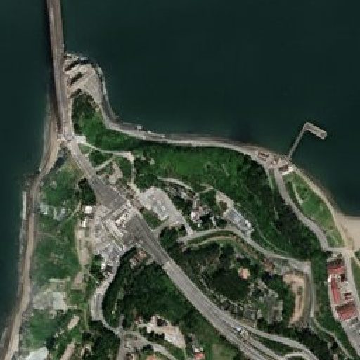
Physics-enhanced true-colour — Sentinel-2 to 1 m and PlanetScope to 1.9 m — refreshed every 2–5 days (S2) to daily (PlanetScope), no hallucinations.
More info →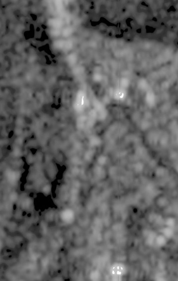
All-weather Sentinel-1 radar at 2 m (delivered at 1 m), every 6 days — day, night and through cloud.
More info →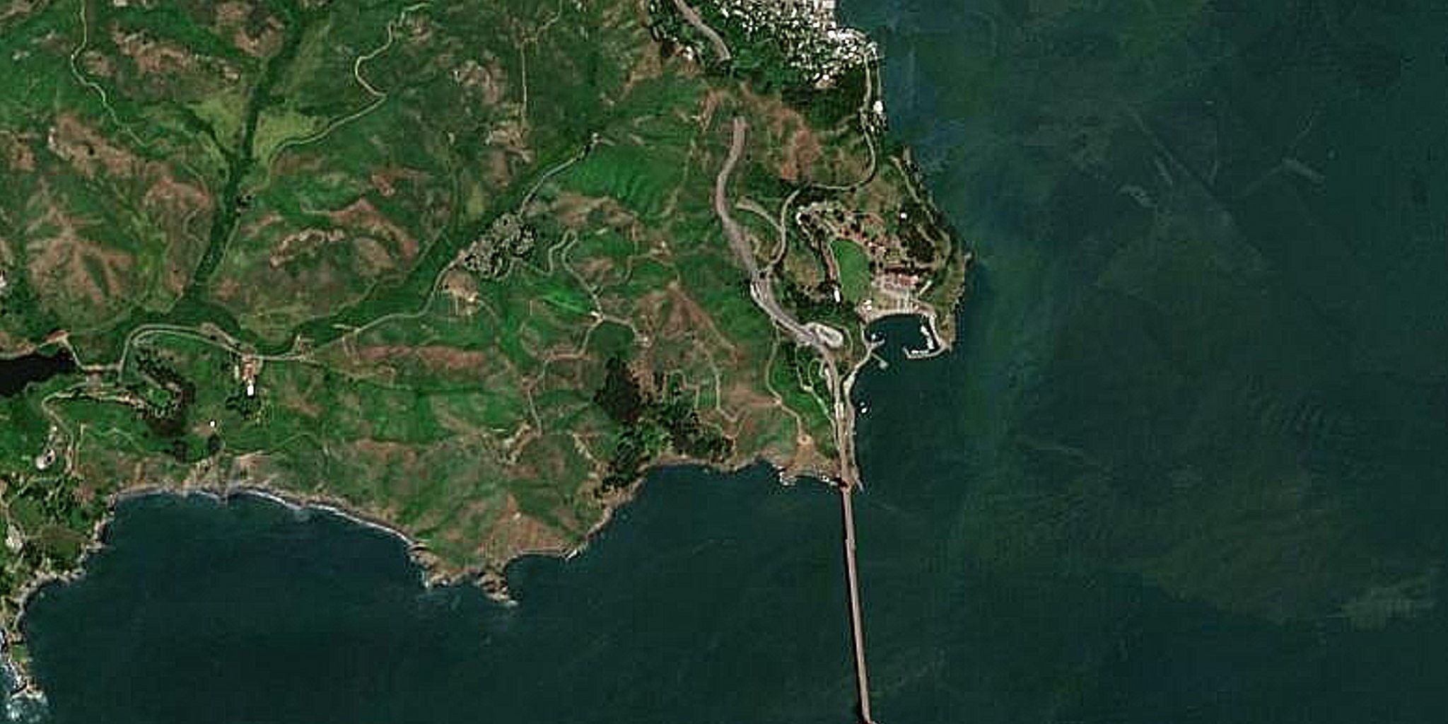
A seamless, near-cloudless global basemap — 10 m source, 5 m physics-based Derived Resolution, 2.5 m Super-Resolution.
More info →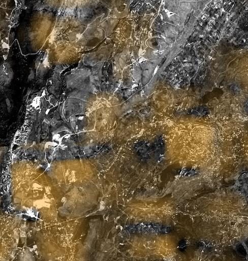
Nightly 25 m night-lights, super-resolved from NASA Black Marble, for power, outage and activity tracking.
More info →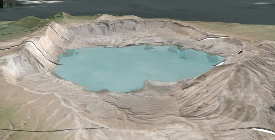
A global 1 m-post-spacing elevation model within a metre, vertically, of LiDAR.
More info →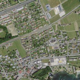
Government aerial orthoimagery for 20+ countries, from 20 cm to 1 cm, some refreshed continuously.
More info →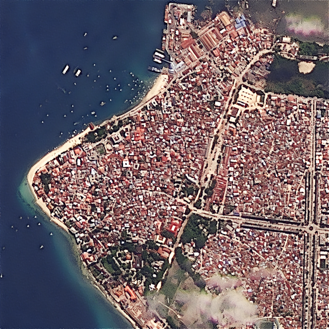
Upload your own scene — ×2 Refined Reality, ×4 Super Resolution, or PlanetScope 1.9 m — from virtually any sensor.
More info →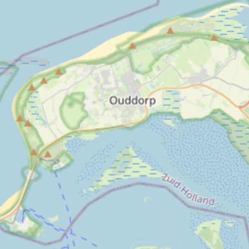
Continuous watch over pipelines, transmission lines, railways and borders for encroachment and change.
More info →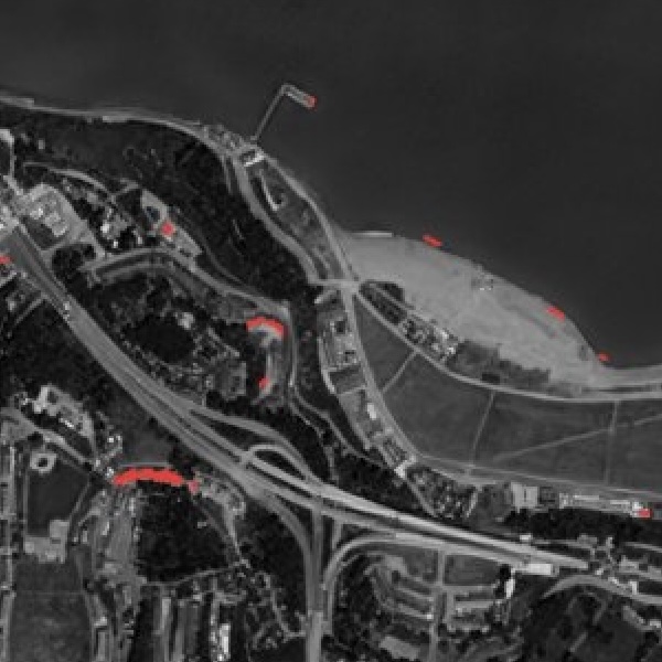
Pixels built now but not months ago — automated detection of unpermitted construction at national scale.
More info →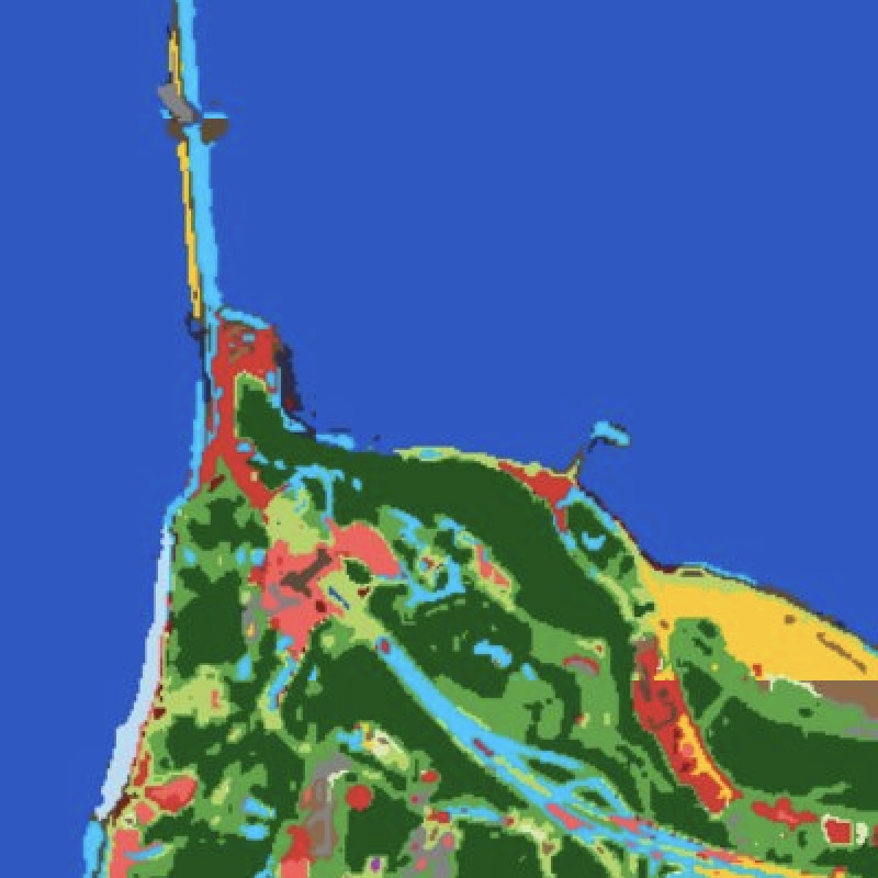
Physics-based, training-free land-cover and built-up mapping — built-up, roads, cropland, water and more from one representation.
More info →A continuously refreshed 2.5 m basemap — hourly-updated, always the freshest pixel.
More info →A recency map of the ESRI world basemap — how old the imagery is, anywhere.
More info →Tell us your area of interest and we'll show you what SkySpera can do with it.
Talk to us SkySpera Earth intelligence