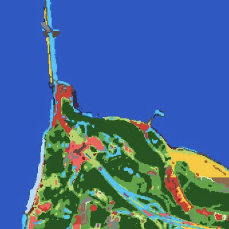
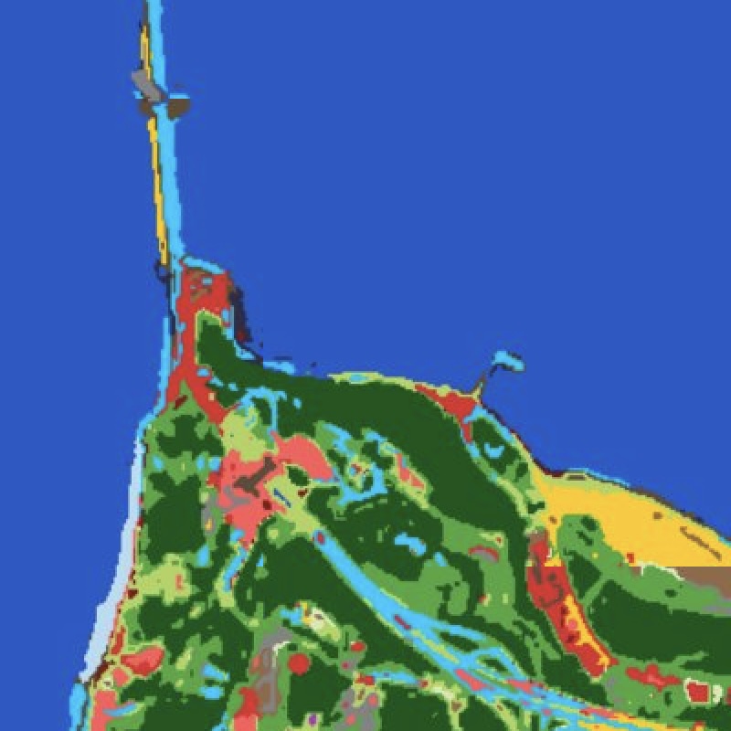
Land-cover mapping with no training data and no proprietary labels — surface materials discovered directly from the multispectral signal, describing a scene rather than forcing it into fixed classes.
Most land-cover products are supervised classifiers needing labelled data and failing to generalise across geographies. SkySpera takes the opposite approach: a physics-based, training-free pipeline. One layer clusters each pixel by spectral material identity (concrete, asphalt, metal roof, water, soil, vegetation) in an illumination-decoupled colour space, with cloud and shadow falling out as their own classes. A second characterises each pixel's spatial context (diversity, texture, patch size). Built-up, roads, agriculture, solar farms, quarries and isolated structures emerge as queries against this representation. It runs anywhere with no local calibration; default labels come from OpenStreetMap as a majority vote, never ground truth, so disagreements surface as candidate change events.
Tell us the ground you need to watch — we'll show you what SkySpera can do with it.
Talk to us SkySpera Earth intelligence