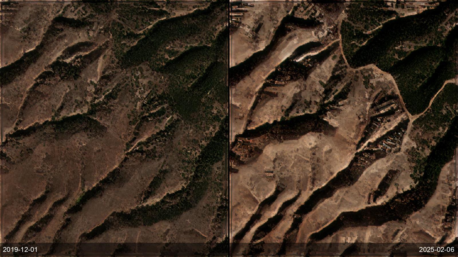
After a fire, civil-protection and land agencies need a severity map and, crucially, a read on what the burn scar will do next — where erosion and debris flows now threaten roads and settlements. SkySpera delivers USGS-standard dNBR severity plus a terrain-aware post-fire erosion/debris-flow layer over 1 m BaseDEM, so recovery planning starts from an objective, timestamped assessment rather than a field walk.
Tell us the ground you need to watch — we'll show you what SkySpera can do with it.
Talk to us SkySpera Earth intelligence