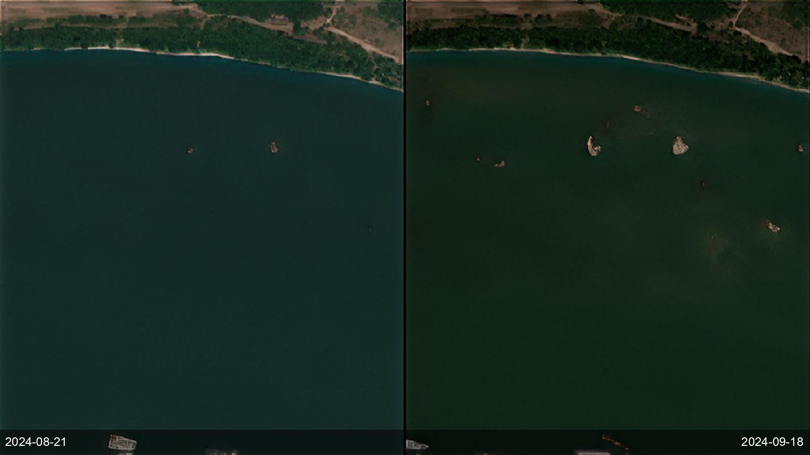
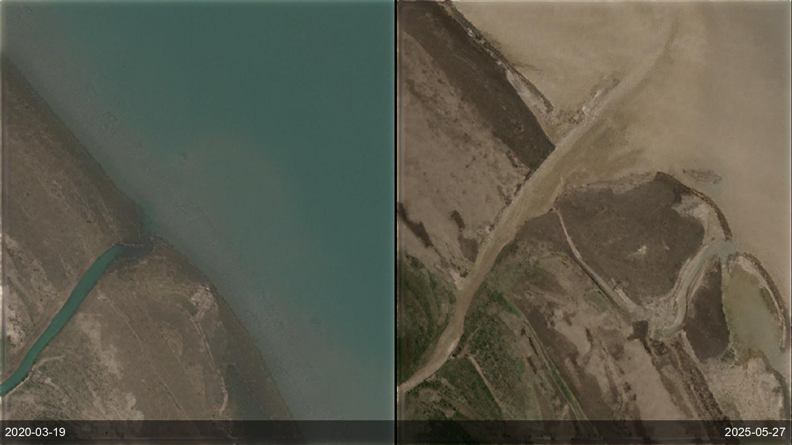
Environmental and water agencies need to track shrinking rivers, lakes and glaciers as climate stresses water supply. SkySpera's frequent multispectral and 1 m visual make receding shorelines, exposed riverbeds, ice melt and expanding coastlines directly measurable against a decade of history, anywhere.
Tell us the ground you need to watch — we'll show you what SkySpera can do with it.
Talk to us SkySpera Earth intelligence