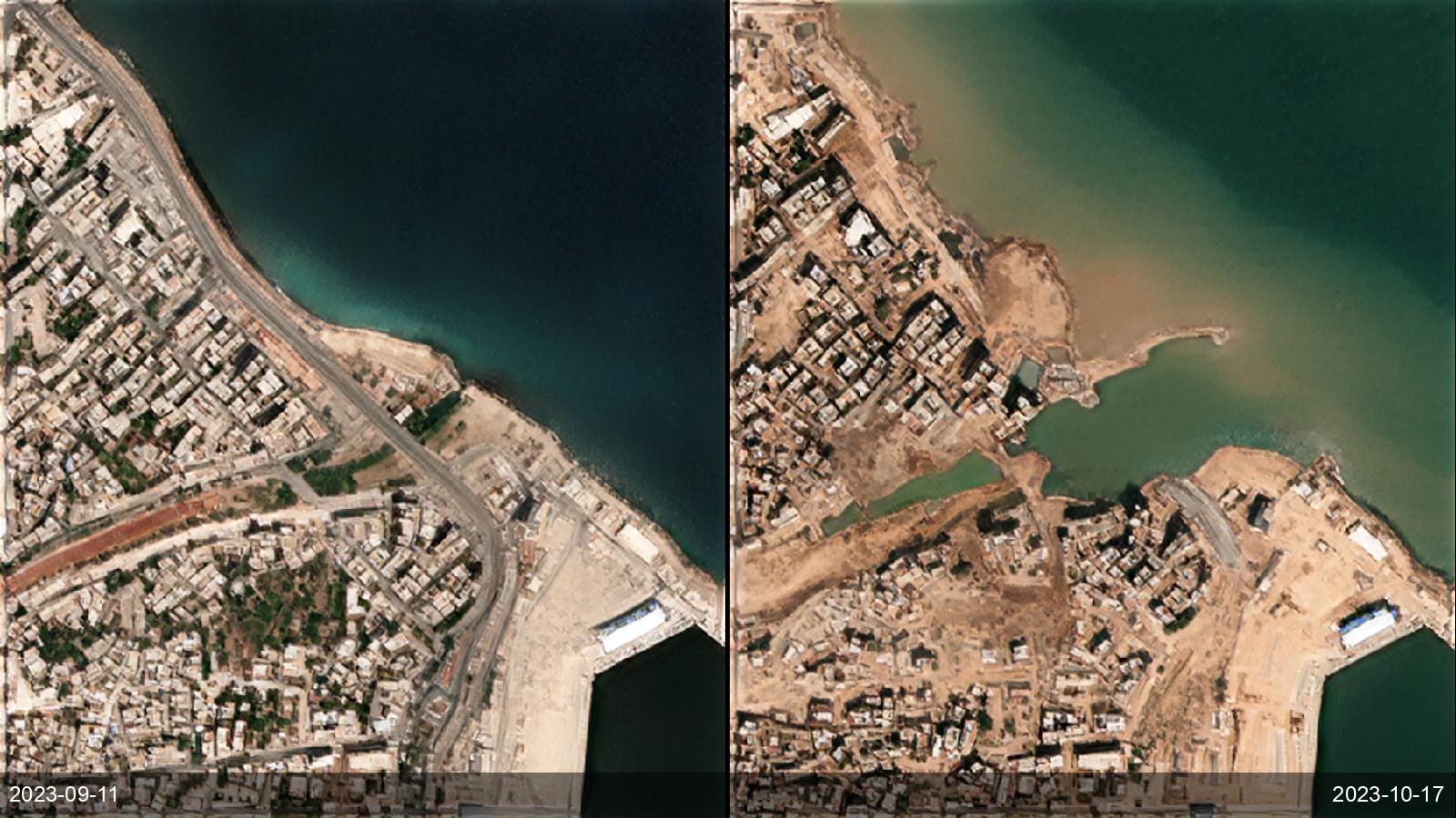
When a flood hits, emergency managers need the inundation footprint fast — even under the storm cloud that grounds optical satellites — and then a record of how waters recede and communities recover. SkySpera combines all-weather 2 m SAR (which sees through cloud) with 1 m visual before/after imagery to map extent during the event and track drawdown and recovery afterward, worldwide, from an archive that establishes the pre-flood baseline.
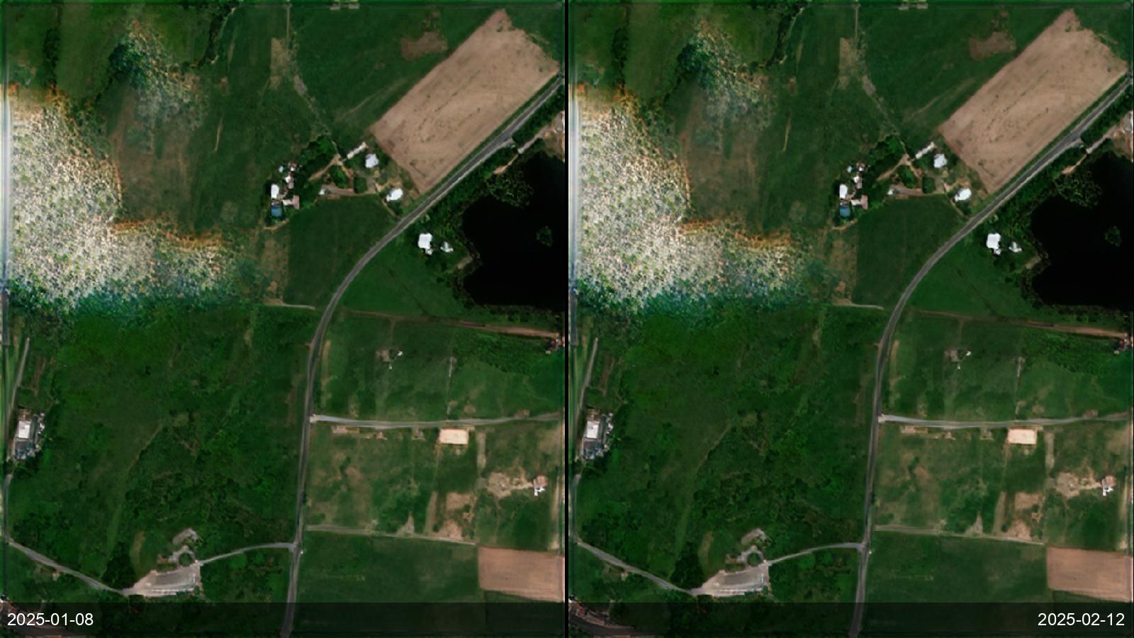
Tell us the ground you need to watch — we'll show you what SkySpera can do with it.
Talk to us SkySpera Earth intelligence