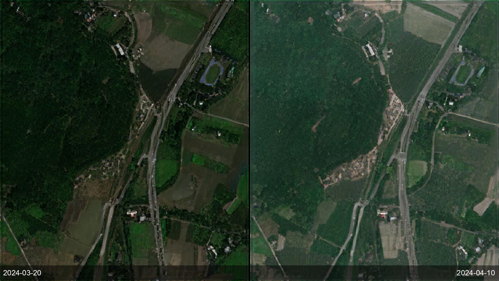
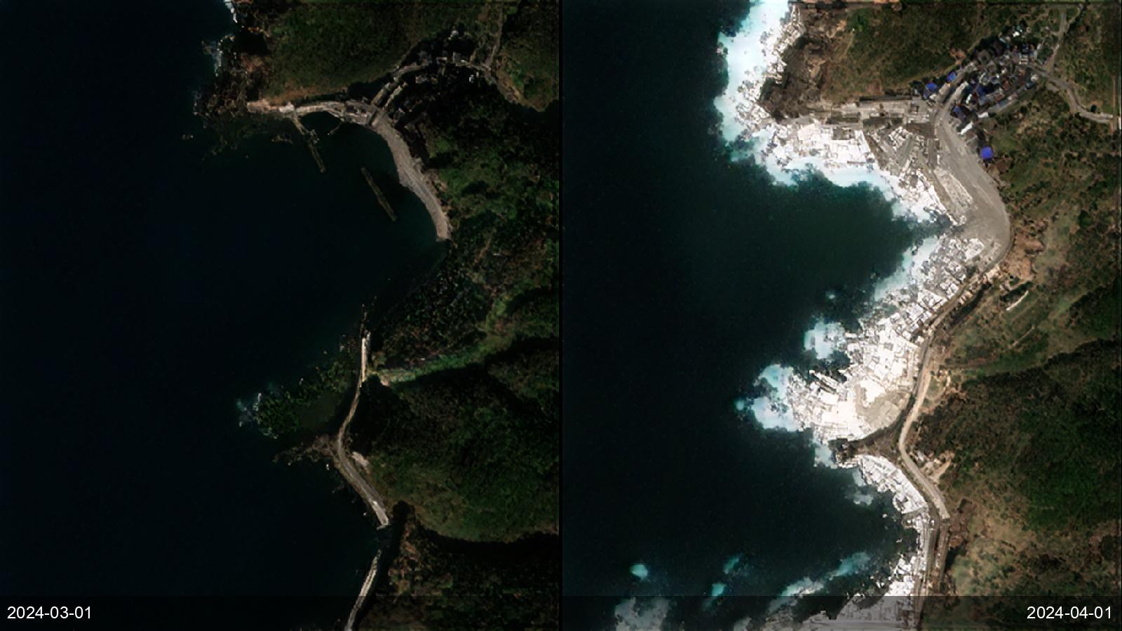
Hazard agencies need to map landslides, lava and ash extent, and tsunami/coastal impact across terrain that is dangerous or impossible to survey during an event. SkySpera's frequent 1 m visual and 1 m BaseDEM capture scarps, flows and coastline change, worldwide, with the archive to compare before and after.
Tell us the ground you need to watch — we'll show you what SkySpera can do with it.
Talk to us SkySpera Earth intelligence