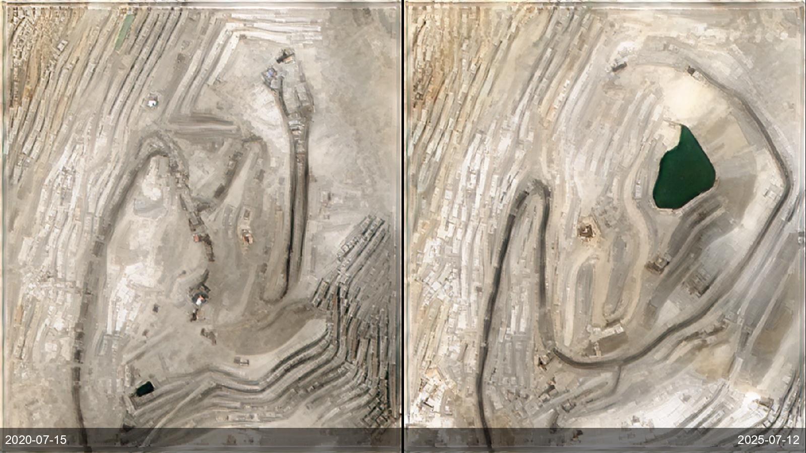
Operators, auditors and regulators need to see how a mine is developing between site visits — where the pit is advancing, how the footprint and haul roads are changing, how close it is to the plan or the licence boundary. Ground and drone surveys are episodic and expensive. SkySpera's frequent 1 m visual makes that 2-D progress directly observable over time, anywhere, from a decade-deep archive that fixes the starting point. BaseDEM adds a consistent worldwide terrain surface for access, drainage and line-of-sight context — but note it is a single, static elevation dataset, not a time series, so it is not used to measure volume *change*; true volumetrics still require repeat elevation survey.
Tell us the ground you need to watch — we'll show you what SkySpera can do with it.
Talk to us SkySpera Earth intelligence