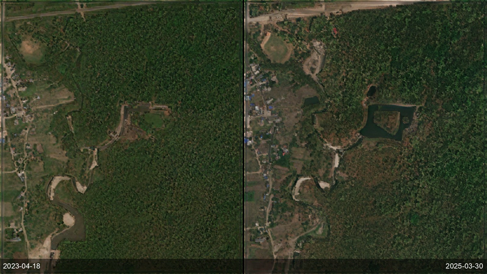
National mapping and statistics agencies need current land-use/land-cover without the cost and bias of supervised classifiers that need local labelled data and fail across regions. SkySpera's physics-based, training-free classifier discovers surface materials and spatial context directly, running anywhere with no calibration, with OpenStreetMap as a majority-vote label rather than ground truth — so high-confidence disagreements surface as candidate change rather than errors. The Land Cover Classification product is in development; today SkySpera delivers the enhanced multispectral and basemap imagery it runs on.
Tell us the ground you need to watch — we'll show you what SkySpera can do with it.
Talk to us SkySpera Earth intelligence