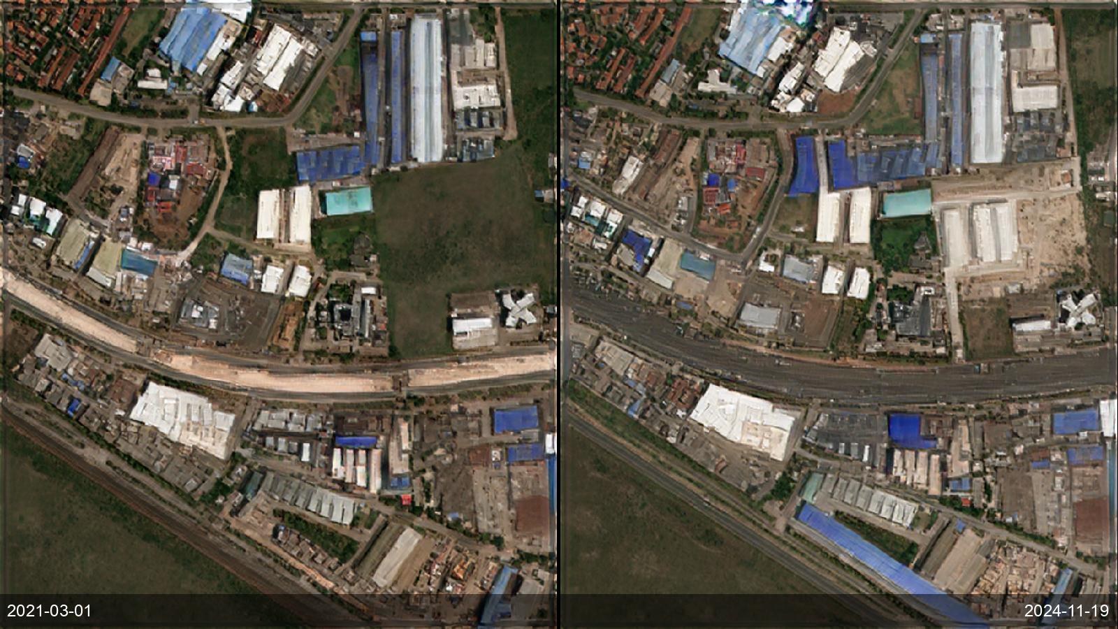
Mapping agencies and logistics planners need current road, rail, port and airport networks — which change faster than national base maps are refreshed. SkySpera's frequent 1 m visual and training-free land-cover layer surface new roads, junctions, terminals and runways as they appear, worldwide, keeping a network map current between official updates.
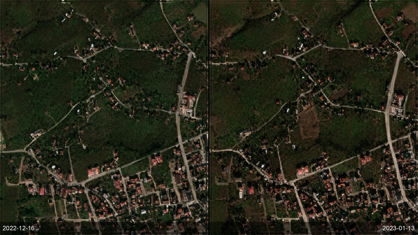
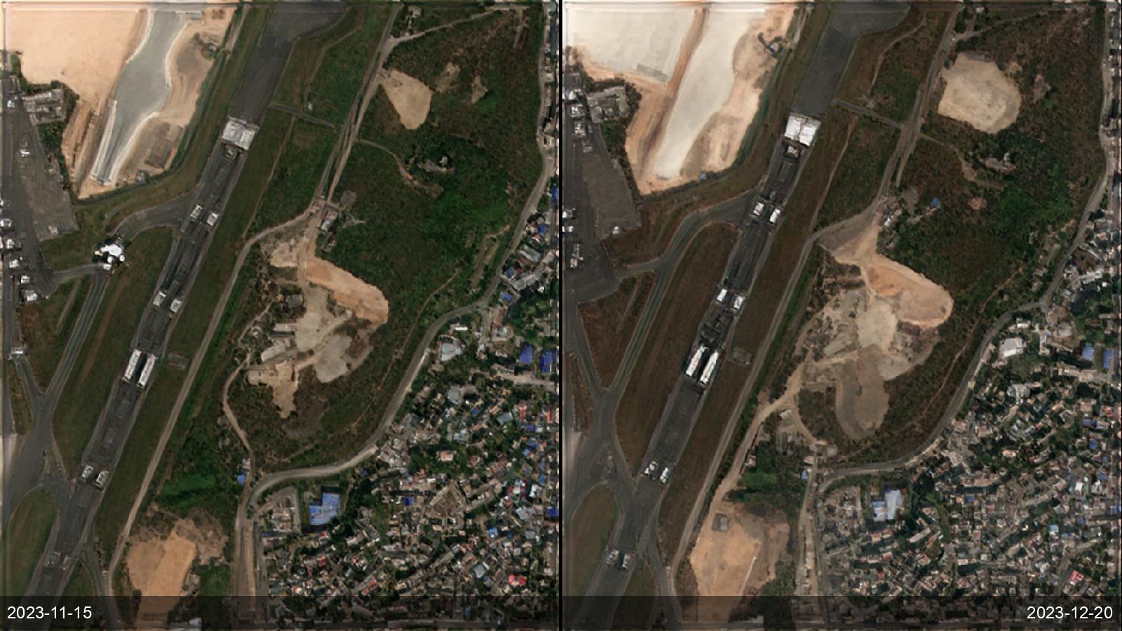
Tell us the ground you need to watch — we'll show you what SkySpera can do with it.
Talk to us SkySpera Earth intelligence